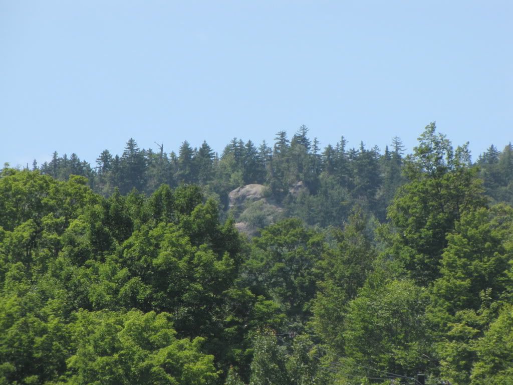
If Foxlair had gone straight it would have to descend those very sizable cliffs. The map Fuj noted shows the work road that ascends to ORG's midstation from Sunway. My guess is the " purple trail " was to no benefit as it would have left skiers on lower Tannery, before the Topridge triple existed. A MTN bike trail map recently released by Gore shows an existing, open bike trail down that valley to Tannery.
Several years before Ruby run opened, I used to run into a group of men on the hill who were upset about Foxlair as it gets hazardous at day's end.
They were all " We gotta do something about this. Someone's gonna get killed. You call the Senator, I'll call so & so, We'll get this BS fixed." They used terms like " bodybags " and noted the many injuries on Foxlair that weekend. When Gore added a netting wall outside of the right edge of FL and attempted to widen it by building it out with snow, these guys were upset again. " This is BS. They were supposed to build another trail down. Let's go down and call right now " blah blah blah.
Lo and behold, Ruby Run materialized. Don't know for sure how much a part this group of men played. They seemed like the kind of men who were used to getting things accomplished, using their influence to cut through the BS and making people do what needs to be done.
" This is what you're going to do and this is how you're going to do it. Any questions? "
My kinda of guys.
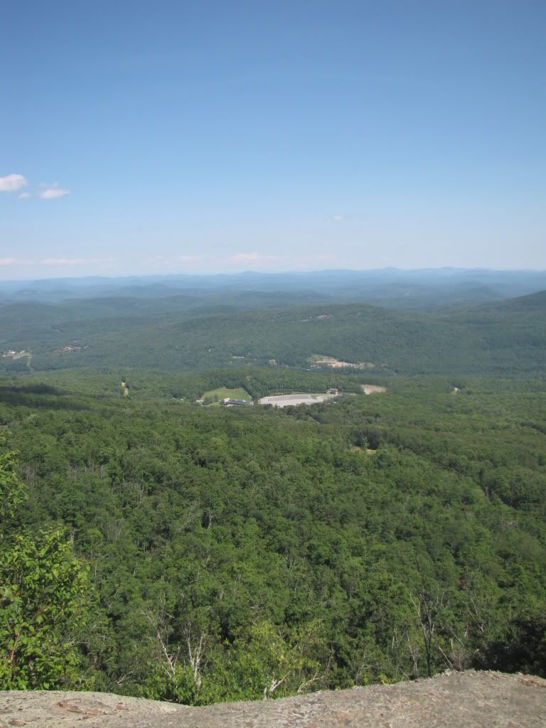
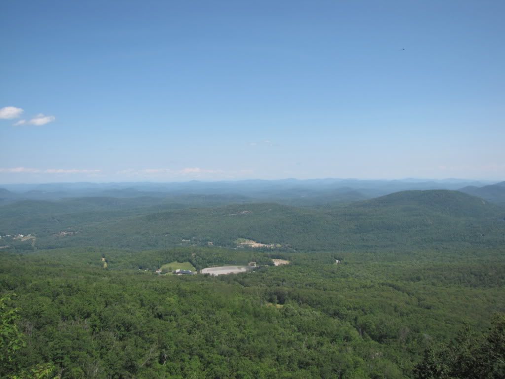
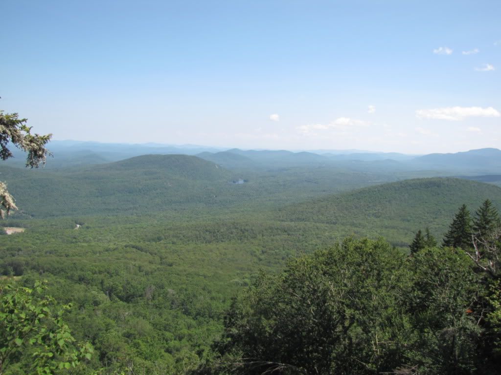
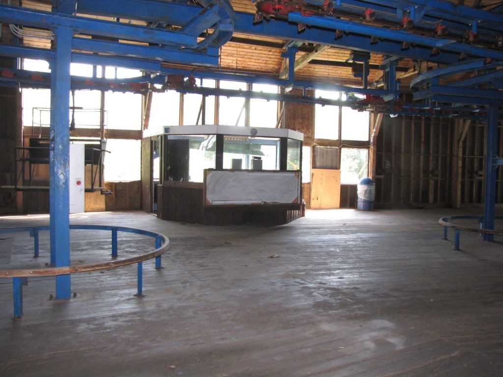
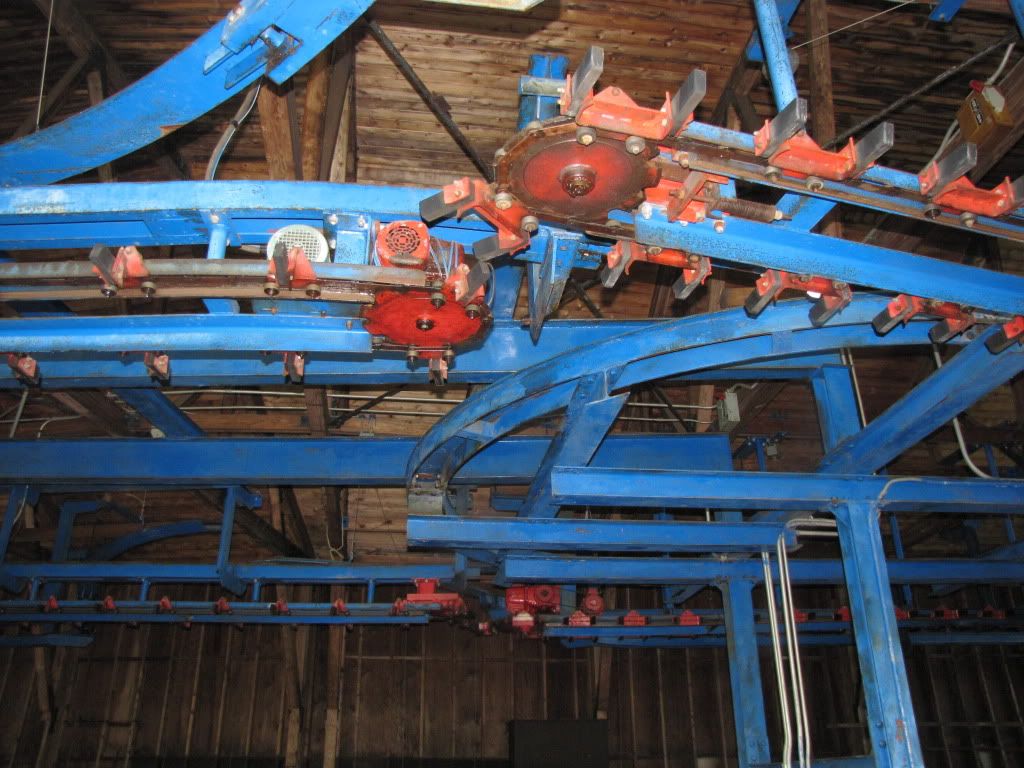
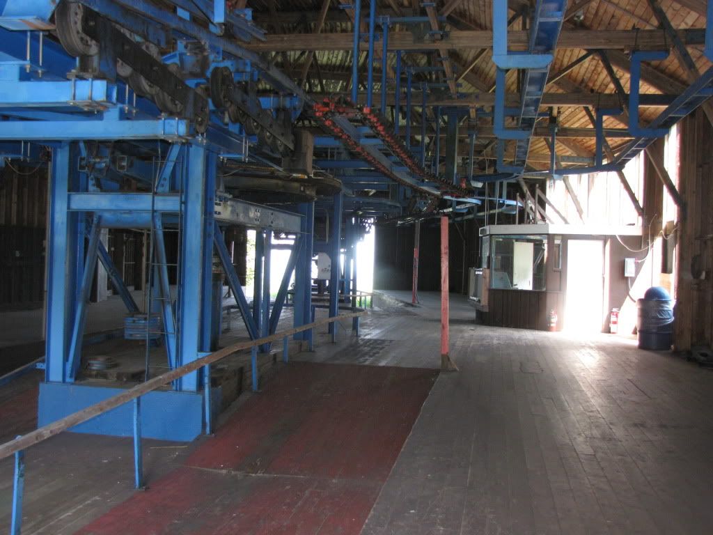
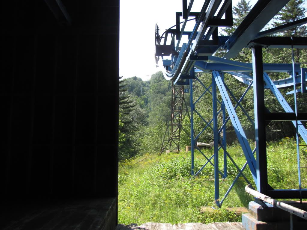
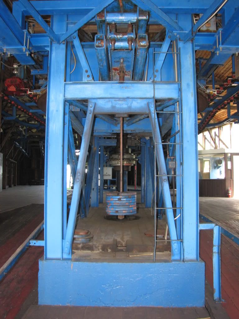
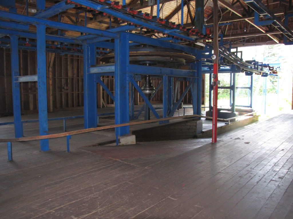
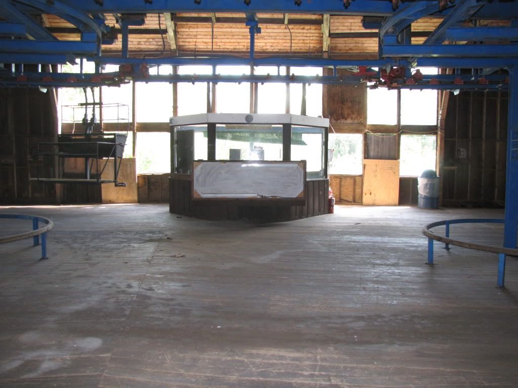
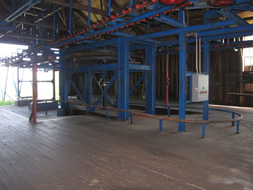
") skiing.The transfer station would be a cool one, all perched atop that ridge, views both ways.
skiing.The transfer station would be a cool one, all perched atop that ridge, views both ways. . I'll try and make it up either later in the week if I have a day off or definatly next weekend